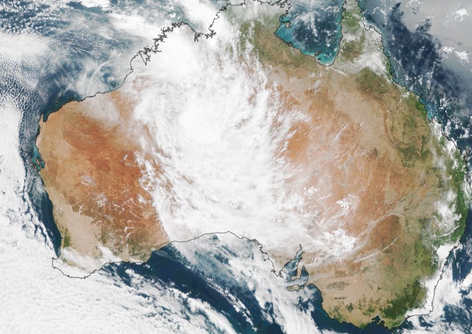
Remember I told you all about “dumps” from Tropical Cyclones, well TC Tiffany did it for us with 34.5mm over two days, giving us 38.0mm for January 2022. It rained on 6 of the 31 days in January.
TC Tiffany was the fourth TC for the year, the others being Paddy (way out in the Indian Ocean), Ruby (Noumea) & Seth (started in the Arafura Sea & went east& south, ending up at Brisbane). TC Tiffany started east of the Gulf of Carpentaria & travelled west to the Broome area then turned back on itself to become a tropical low over Katharine).
The magic town is “Broome”. Most of our “dumps” start over Broome. Kimba for the record got three times its annual rainfall in two days during-mid January.
We can also get “dumps” from Tropical Lows. Invariably these only get down as far as Arkaroola. Many people said this was a LaNina event but that was not the case. The La Nina effect didn’t get into South Australia during January, hovering just east of our border with NSW.
Still 38.0mm is the second best start to a year in the last 10 years, 2017 gave us 62.0mm & we ended up with 507.0mm that year.
How did we compare with other years?
2022 38.0mm (2)
2021 12.0mm
2020 25.5mm
2019 1.0mm
2018 6.5mm
2017 62.0mm (1)
2016 28.0mm
2015 31.0mm (3)
2014 12.0mm
2013 7.0mm
2012 3.0mm
The outlook for the next three months predicts that our above average rainfall is unlikely to continue. Our daytime temperatures could be higher the average with a few possible hot days that may string together.
Perth had 6 days over 40 degrees in January equalling Adelaide’s record earlier this century. The muggy weather seems to be gone as the tropical events pass. While our soil got a good drenching in January, it is still around average in terms of storage, so continue watering your gardens from the middle of this month.
La Nina is at its peak now & will be around until autumn but probably won’t bother us in terms of rainfall. So….for the next three months it will most likely be around average for rainfall.


